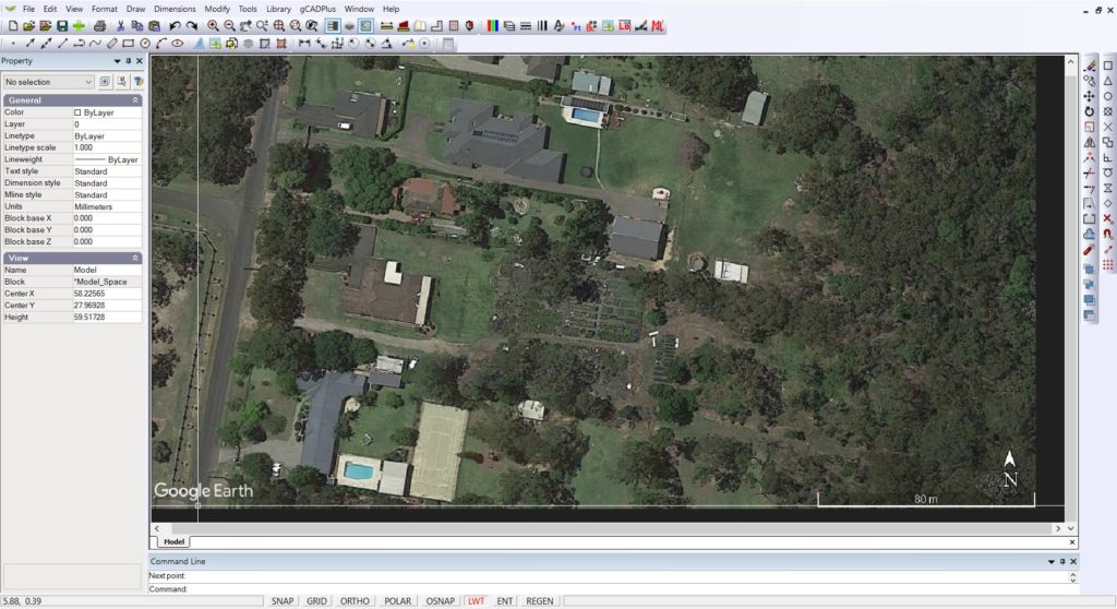
Have you ever dreamed of soaring over the Grand Canyon, diving into the depths of the Great Barrier Reef, or trekking through the Himalayas? With Google Earth, these incredible experiences are just a few clicks away. This powerful platform allows you to virtually explore every corner of our planet, all from the comfort of your home or classroom.
In this comprehensive guide, we’ll uncover the benefits of using Google Earth, show you how to access it, navigate its features, and unlock advanced functionalities for an immersive exploration experience like no other.
Why Use Google Earth?
Before we dive into the details, let’s explore the compelling reasons that make Google Earth a must-have tool for anyone with a sense of adventure or curiosity:
1. Virtual Exploration at Your Fingertips
Google Earth allows you to embark on virtual journeys to any location on Earth. Explore famous landmarks, natural wonders, or even your own neighborhood from a bird’s-eye view, offering a unique perspective on the world around you.
2. Immersive 3D Visualization
Experience a realistic 3D representation of the Earth’s surface, rendered in high-definition detail. Tilt, zoom, and rotate the globe to gain a deeper understanding of geographical features like mountains, valleys, and coastlines.
3. Travel Through Time
With historical imagery, you can witness how landscapes have changed over the years. Explore the evolution of cities, the impact of natural disasters, or the effects of human activity on the environment.
4. Dive into the Ocean Depths
Venture beneath the waves with Google Earth’s ocean imagery layers, revealing the underwater terrain and offering a glimpse into the vast and mysterious marine world.
5. Customize Your View
Enhance your exploration experience by overlaying weather patterns, street maps, 3D buildings, and other data layers, tailoring the information displayed to suit your needs.
6. An Educational Powerhouse
Google Earth is a fantastic educational tool for students and curious minds of all ages. From geography and history to cultural studies and environmental science, this platform offers an interactive and engaging way to learn about our world.

Accessing Google Earth
With its versatility and cross-platform availability, accessing Google Earth has never been easier. Choose the option that best suits your needs.
1. Desktop Application
Download and install the free Google Earth desktop application for Windows, Mac, or Linux systems. This option offers the most comprehensive set of features and functionalities, making it ideal for in-depth exploration and advanced users.
2. Web Browser Version
Access a web-based version of Google Earth directly through your web browser at earth.google.com. While offering a slightly limited feature set compared to the desktop application, the web version provides a convenient way to explore the globe without the need for software installation.
3. Mobile App
For on-the-go exploration, download the free Google Earth mobile app for iOS or Android devices. With intuitive touch controls and optimized mobile performance, you can embark on virtual adventures from anywhere, anytime.
Navigating Google Earth
Once you’ve chosen your preferred method of accessing Google Earth, it’s time to dive into the platform’s interface and key functionalities:
1. Search Bar
Type in a location name or address in the search bar to instantly navigate to that specific place on the globe. This feature allows you to explore areas of personal or academic interest with ease.
2. Navigation Controls
Use the navigation controls (arrows, zoom buttons) to pan, tilt, and zoom the globe. Explore different angles and zoom levels to gain a deeper understanding of the terrain and uncover hidden details.
3. Layer Panel
The layer panel allows you to customize your view with various data overlays. Explore street maps, historical imagery, 3D buildings, weather patterns, and more, tailoring the information displayed to suit your specific needs.
4. Ocean Mode
Activate Ocean Mode to venture beneath the surface and explore the underwater terrain. Discover the wonders of the ocean floor, from vibrant coral reefs to deep-sea trenches.
5. Street View Integration
Certain locations offer integration with Google Street View, allowing you to seamlessly transition from an aerial view to a street-level perspective. Explore neighborhoods, cities, and landmarks with unprecedented detail and immersion.
6. Measurement Tools
Use the built-in measurement tools to calculate distances and areas between different points on the globe. This feature is particularly useful for educational purposes, urban planning, or satisfying your curiosity about the scale of geographical features.
7. Full Screen Mode
Activate full-screen mode to truly immerse yourself in your virtual exploration. With the globe occupying your entire display, you’ll feel like you’re soaring over the planet, experiencing its majesty in a captivating way.
Advanced Features
While basic navigation and exploration are incredibly powerful, Google Earth offers a wealth of advanced features that unlock even greater potential.
1. Guided Tours
Embark on pre-made guided tours created by Google or the community. Explore specific themes like historical landmarks, natural wonders, or cultural hotspots with expert narration and curated waypoints.
2. Feeling Lucky
Can’t decide where to explore next? Click the “Feeling Lucky” button and be virtually transported to a random location on Earth. Discover new places and spark your sense of adventure.
3. Create and Share Tours
Craft your own custom tours with waypoints, narration, and imagery. Share your creations with others, allowing them to experience the world through your unique perspective.
4. Save and Share Places
Save interesting locations you discover, creating a personalized collection of places that hold significance for you. Share these saved places with others or revisit them easily on future explorations.
5. Print High-Resolution Images
Capture stunning, high-resolution images of the locations you explore. Print these images or use them for presentations, educational resources, or décor.
6. Import and Export Data
For researchers, educators, and professionals, Google Earth offers the ability to import and export geospatial data. This feature enables advanced analysis, visualization, and integration with other specialized software and tools.
The Future of Google Earth
As technology continues to evolve, so too will the capabilities of Google Earth. Here’s a glimpse into what the future might hold:
1. Enhanced VR Integration
Expect deeper integration with Virtual Reality (VR) technology, allowing users to virtually walk through cities or scale mountains with an unprecedented level of immersion.
2. Real-Time Data Integration
The incorporation of real-time data could enable users to explore the Earth with dynamic weather patterns, live traffic updates, or witness major events as they unfold.
3. AI-Powered Exploration
Advancements in Artificial Intelligence (AI) might lead to personalized recommendations and interactive storytelling within Google Earth. Imagine AI-powered virtual guides narrating historical events or suggesting exploration paths based on your interests.
Unlock the World with Google Earth
Google Earth is more than just a tool for virtual exploration; it’s a gateway to discovering the wonders of our planet in ways that were once unimaginable. By leveraging its powerful features and continually evolving capabilities, you can embark on incredible journeys, uncover hidden gems, and gain a deeper appreciation for the world around us.
Whether you’re a student seeking interactive educational resources, a traveler yearning to explore new destinations, or simply a curious mind with a thirst for knowledge, Google Earth offers an unparalleled opportunity to unlock the secrets of our planet from the comfort of your device.
So, what are you waiting for? Download Google Earth today and start your virtual exploration adventure!


Add Comment