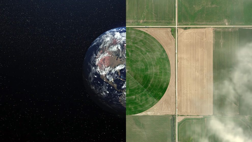
The vast expanse of space isn’t just home to celestial bodies; it’s also a vantage point for a powerful tool: satellite imagery. Armed with this bird’s-eye view, humans have long used satellites to monitor Earth, gather data, and gain insights.
But in recent years, a new player has entered the scene: artificial intelligence (AI). By analyzing satellite imagery with AI algorithms, we’re unlocking a treasure trove of information that’s revolutionizing fields like defense, agriculture, and disaster relief.

How AI is Transforming the Defense Sector by Analyzing Satellite Imagery
In the defense sector, AI is analyzing satellite images to enhance security and gain valuable intelligence:
- Tracking troop movements and monitoring potential threats
- Enhancing border security by identifying suspicious activity
- Improving cybersecurity in space by detecting potential attacks on satellites
For example, AI can detect changes in military formations, identify hidden bases, and track troop movements. This provides vital intelligence for defense operations.
Along borders, AI can spot suspicious activity like illegal crossings or drug trafficking by analyzing vehicle patterns, heat signatures, and changes in vegetation.
And in space, AI-powered systems can monitor satellite communications and detect possible cyberattacks. This safeguards critical infrastructure and prevents disruptions.
How AI and Satellite Imagery are Revolutionizing Agriculture
In agriculture, analyzing satellite images with AI is driving efficiency, sustainability, and production:
- Enabling precision agriculture to boost yields
- Monitoring deforestation and illegal logging
- Predicting crop yields to inform food security strategies
For example, AI can assess crop health, spot pests and diseases early, and optimize irrigation and fertilizer use. This precision agriculture leads to increased yields and resource efficiency.
AI can also track changes in forest cover over time and rapidly identify areas of illegal logging. This helps protect ecosystems and wildlife.
And by analyzing historical crop data, weather patterns and satellite images, AI can predict yields and risks. This enables governments and NGOs to better manage food security for vulnerable groups.
How AI and Satellites Are Advancing Disaster Relief Efforts
In disaster relief, AI and satellite data are saving lives by powering:
- Early warning systems for natural disasters
- Damage assessments after disasters occur
- Tracking of displaced populations to facilitate aid efforts
For example, AI can detect early signs of floods, earthquakes, or wildfires by analyzing shifts in ground movement or vegetation patterns. This allows for timely evacuations.
Post-disaster, AI can quickly estimate infrastructure damage and losses. This lets relief agencies deliver vital aid and resources faster.
And AI can monitor the movement of displaced people following catastrophes. This helps NGOs identify areas in need and alleviate suffering.
The Future of AI, Satellites and Earth Observation
As AI continues to progress, the possibilities are truly endless:
- More advanced algorithms will extract even deeper insights from images
- Real-time analysis will enable quick, life-saving decisions
- Integration with drones, sensors and IoT will create a comprehensive Earth monitoring system
Together, AI and satellite technology can build a more sustainable, resilient and equitable future – while advancing vital sectors.
However, we must develop and deploy AI responsibly and ethically to distribute the benefits fairly across all groups.
By harnessing the power of AI to uncover insights in satellite imagery that have long eluded human analysts, we’re propelling breakthroughs in defense, agriculture, disaster relief and sustainability – with more transformative innovations to come.


Add Comment